The emergence of high-resolution satellite imagery has positively impacted numerous sectors, becoming one of the primary sources of critical information for informed decision-making from an aerial perspective. This advanced technology enables industries to collect critical data, optimize operations, and make data-driven decisions. The sections below go through the industries that benefit the most from such advanced imaging.
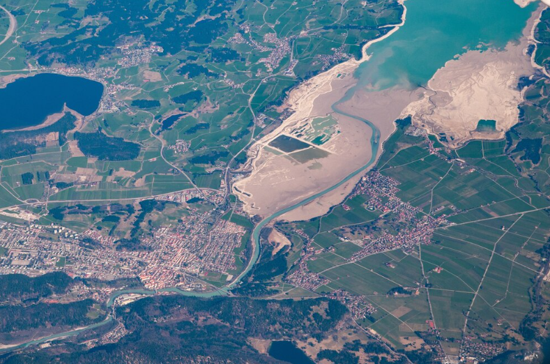
Table of Contents
Agriculture
High-resolution satellite imagery provides advantages to farmers and agricultural enterprises. This technology allows for precision agriculture, where farmers can track the health of crops, soil conditions, and water usage. By observing changes in the vegetational environment and early detection of pest infestations, farmers can address potential issues, maximizing yields and minimizing resource waste. This also helps farmers understand the consequences of weather patterns and thus make data-driven decisions.
Urban Planning and Development
Satellite imagery is considered a guiding tool for urban planning. With clear, detailed visualization, planners can understand land usage, identify dispersive trends of urban developments, and appropriately plan vehicular and public transportation networks. Such imagery helps recognize green patches and assess environmental effects. By providing a holistic perspective, satellite imagery empowers sustainable decisions for urbanization. This technology recognizes that urban areas are vital for reaching worldwide sustainability targets and encourages informed and interconnected development.
Environmental Monitoring
The satellite images can also be used for ecosystem research, monitoring of deforestation, and climate change response. When it comes to tracking forest cover changes, high-resolution images offer several advantages and benefits in identifying areas where conservation is needed. It evaluates the impact of natural disasters like flooding or wildfires, facilitating faster recovery. When conservationists have a grasp on changes in nature, they can be prepared with solutions to help sustain natural resources.
Disaster Management
Satellite imagery is used in disaster-prone areas for emergency response and disaster management. Providing up-to-date information on impacted places, the tool aids in damage evaluation and resource distribution. Following natural disasters such as hurricanes or earthquakes, images assist in identifying safe routes and rescue priorities. This technology allows human and economic losses to move quickly and also in a coordinated manner.
Mining and Geology
Satellite imagery is increasingly valuable to the mining industry for exploration and monitoring activities. By evaluating the topography in detail, companies can find sites worth mining and optimize their mining strategies. Such technology further helps in evaluating and adhering to environmental standards. Geological formations can be analyzed through remote sensing, which plays an important role in the process of resource management.
Forestry Management
Satellite imagery is also beneficial for sustainable practices such as forestry management. This type of high-resolution data is useful for monitoring tree health, illegal logging, and forest management. Considering forest density and its variations over time, foresters use it to devise ways to preserve biodiversity and resist deforestation. Feel free to use this imagery in support of things like reforestation and ecosystem permanence.
Transport Infrastructure
Satellite mapping plays an important role in the layer of transportation networks in infrastructure projects. High-resolution imagery plays a key role in planning roads, railways, and airports through land assessment. It aids in understanding traffic flow, detecting congestion, and optimizing routing. Satellite data helps in making infrastructure maintenance efficient since it helps in identifying the wear and tear in infrastructure, which helps in effectively repairing it.
Oil and Gas Exploration
Satellite Imagery in Oil and Gas Exploration Satellite imagery has a major role in discovering drilling sites when searching for oil and gas. Detailed terrain analysis helps companies trace the geological formation and optimize the exploration action plan. It can be used for monitoring the pipeline network, detecting leaks, and improving safety and environmental protection, all of which are possible using satellite data. This technology allows efficient extraction of resources, reducing costs associated with exploration.
Conclusion
High-resolution satellite imagery has revolutionized various sectors by providing new insights and increasing operational efficiencies. It provides a bird’s-eye view that assists in decision-making and contributes to sustainability, spanning various fields—from agriculture to environmental monitoring. The impact of satellite technology on these industries will only increase with further technological advancements, paving the way for novel solutions and improvements in industrial practices.